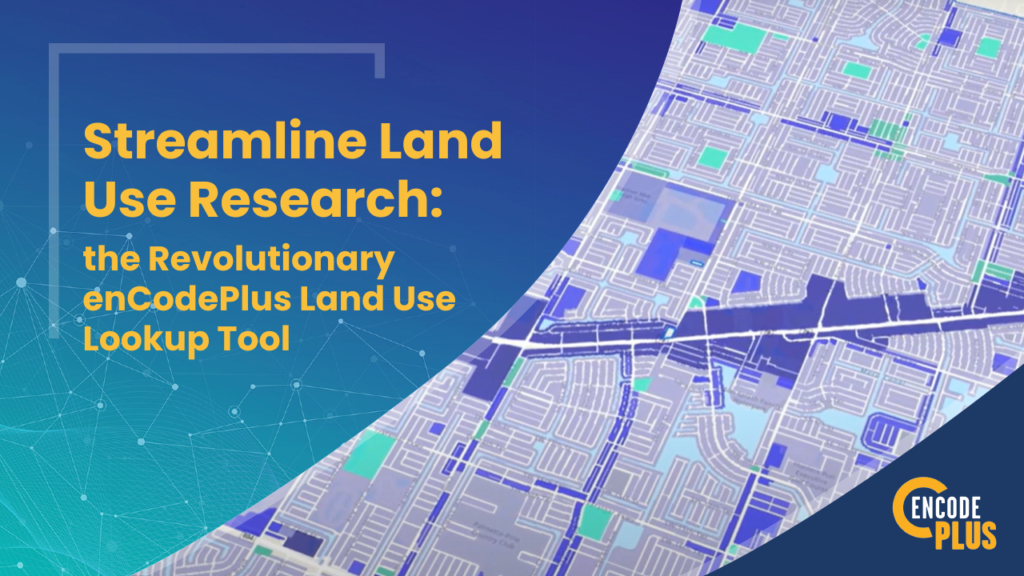

Streamline Land Use Research with the Revolutionary enCodePlus Land Use Lookup Tool
- Home
- >
- Code Drafting
- >
- Streamline Land Use Research with the Revolutionary enCodePlus Land Use Lookup Tool
- @
- |
- code management

For entrepreneurs, investors, and site selectors, conducting efficient and effective land use research is crucial to making informed business decisions. However, traditional methods of obtaining this information can be time-consuming and cumbersome. Delving into zoning ordinances and understanding permitted land uses often involves contacting multiple sources and scouring through extensive documents.
Thankfully, a game-changing solution has emerged to save time and effort: enCodePlus’ innovative Land Use Lookup Tool.
The Traditional Challenge of Land Use Research
Determining the permissible land uses in different zoning districts can be a complex and costly process. Locating relevant districts, researching permitted uses, and understanding the approval requirements can take weeks, hindering timely decision-making.
Introducing enCodePlus: Simplifying Land Use Research
enCodePlus has revolutionized land use research with its cutting-edge land use lookup tool. Designed to streamline the process, this tool empowers entrepreneurs and investors to access critical information swiftly and efficiently.
Two User-Friendly Paths to Vital Information
enCodePlus offers two accessible paths to access the necessary land use information:
- Interactive Online Map: This map provides an overview of zoning districts across the jurisdiction, allowing users to zoom in and access parcel and district summaries by clicking on specific lots. All relevant ordinance sections are hyperlinked for easy reference.
- Query SmartSearch: This path offers the same comprehensive information as the map, without the visual representation.
Fast and Comprehensive Reports
By utilizing either path, enCodePlus generates printable and exportable reports, providing entrepreneurs with all the essential land use information at their fingertips. This eliminates the need for hours of tedious document sifting.
Advanced Analysis and Features: Enhancing Decision-Making
enCodePlus’ land use lookup tool offers more than just quick information retrieval. It comes equipped with powerful features to aid in comprehensive research:
- District Analysis Tool: Users can gather data within specific buffered distances from points, parcels, lines, or define custom polygons, gaining deeper insights into surrounding areas.
- Exportable Data: Parcel information and property ownership data can be easily exported to Excel spreadsheets, facilitating further data manipulation and seamless integration with other systems.
- Calculators: Built-in calculators simplify planning, enabling entrepreneurs to determine parking space quantities, sign placements, tree and shrub requirements, and necessary fees with just a few clicks.
Need a quote or more info?
Advanced Analysis and Features: Enhancing Decision-Making
enCodePlus’ land use lookup tool offers more than just quick information retrieval. It comes equipped with powerful features to aid in comprehensive research:
- District Analysis Tool: Users can gather data within specific buffered distances from points, parcels, lines, or define custom polygons, gaining deeper insights into surrounding areas.
- Exportable Data: Parcel information and property ownership data can be easily exported to Excel spreadsheets, facilitating further data manipulation and seamless integration with other systems.
- Calculators: Built-in calculators simplify planning, enabling entrepreneurs to determine parking space quantities, sign placements, tree and shrub requirements, and necessary fees with just a few clicks.
Seamless Implementation
To take advantage of these powerful tools, entrepreneurs can implement two key components offered by enCodePlus:
- eZoning: Modernize zoning ordinances by transforming them into web-based interactive formats, enhancing accessibility and comprehension.
- GeoZone: Enhance Geographic Information Systems (GIS) with custom zoning applications tailored to specific needs.
Embrace the Future of Land Use Research with enCodePlus
enCodePlus’ innovative Land Use Lookup Tool offers entrepreneurs, investors, and site selectors a comprehensive solution for making well-informed business location decisions. Seamlessly explore, analyze, and plan your ventures with enCodePlus, leaving behind the complexities of traditional land use research. Embrace the future of efficient, data-driven business location choices with enCodePlus, setting your path to success in motion.
About enCodePlus – Intelligent Planning, Zoning and Codification Software
enCodePlus is a unique, web-based technology platform delivering a full suite of planning, zoning and municipal code tools and features, together with full or hybrid code management services. Created by the planning experts at Kendig Keast Collaborative, the platform serves planners and zoning administrators, clerks, attorneys, managers, economic developers, and consultant partners. The cutting-edge software streamlines the rejuvenation of the format and usefulness of plans, studies, codes and ordinances, design guidelines, standards and specifications and the processes to create and publish them.
About the Author of “Streamline Land Use Research with the Revolutionary enCodePlus Land Use Lookup Tool”
Bret C. Keast, AICP, President
Bret Keast is the Principal-in-Charge who oversees all implementation of the software system. Bret is also the CEO of enCodePlus’ parent company, urban planning consulting firm Kendig Keast Collaborative (KKC). Mr. Keast brings 30 years of experience in community planning and zoning, including software innovations for local governments of all sizes. He is a graduate of Iowa State University with a B.S. in Community and Regional Planning, a second degree in Communications and a specialty in Architecture. His Master of Urban Planning (MUP) degree is from the University of Kansas. As an urban planning consultant, Bret has written, codified, and published zoning and land development bylaws for towns, townships, cities and other jurisdictions across the U.S. In all, KKC has prepared 175+ codes and bylaws.
