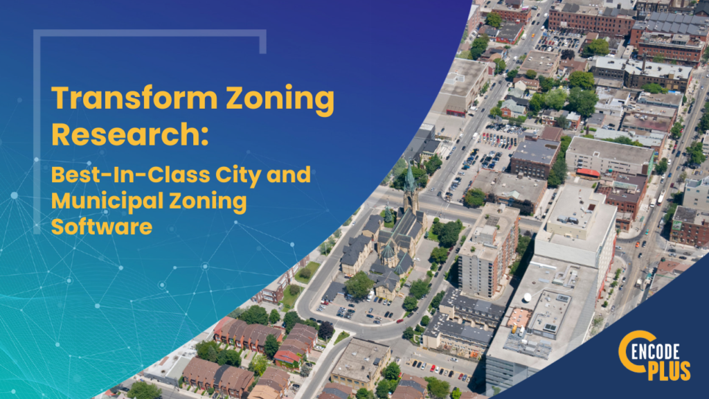

Transform Zoning Research with Best-In-Class City and Municipal Zoning Software
- Home
- >
- GIS Integration
- >
- Transform Zoning Research with Best-In-Class City and Municipal Zoning Software

For city planners (and especially Planners of the Day), zoning administrators and permitting and code enforcement staff, zoning research can be more difficult than it needs to be.
Pouring over paper or PDF maps or scanning around an online map, digging through multiple ordinance sections and other related standards or specifications, and pulling property records from different sources is time-consuming and inefficient.
New zoning research software that seamlessly integrates the zoning text and map can revolutionize these workflows.
At enCodePlus, we understand these pains. In fact, we’ve experienced them firsthand in our roles as city and county planners. That’s why we developed a suite of advanced GIS-powered zoning tools built specifically for the needs of local governments.
Our software dynamically links land use regulations, planned development ordinances, property records and interactive maps into one unified platform. Permit records and enforcement actions may be connected as well.
Need a quote or more info?
With our unequaled and GIS and zoning research software, you get a complete suite of tools.
Zoning Tool Box
- District Summary Tool: Instantly view permitted land uses, dimensional standards, design guidelines, and relevant code links for any zoning district just by clicking on an interactive map. No more cross-referencing printouts.
- Parcel Summary Tool: Consolidate all information for a property in one place—ownership details, valuations, permits issued, zoning status, and more—accessible with one click.
- Land Use Lookup Tool: Stop scrolling through use tables. Easily find all districts where any use is allowed from a dropdown search, then view locations on a map or linked regulations.
- Zoning Compare Tool: Evaluate impacts of proposed zoning changes by generating reports comparing current and proposed ordinances and their uses and standards side-by-side. Easily identify additions, deletions, and changes.
- SmartSearch Tool: Lookup zoning summaries for any property fast by searching addresses or parcel IDs.
The system automatically updates as regulations and properties change, keeping the data current and in real time. Our distinctive zoning and GIS software-as-a-service (SaaS) integration finally brings simplicity and automation to unnecessarily frustrating research processes.
With our tools, staff can thoroughly analyze the zoning requirements for new development or redevelopment, rapidly serve public inquiries, and enforce codes more effectively. Departments access a shared interactive system for maximum citywide efficiency.
If your jurisdiction is stuck trying to mesh PDF maps with lengthy ordinance or code documents and scattered property records, it’s time for a change. Contact enCodePlus to learn how our zoning research software for local governments can empower your team.
Request a demo today to see the future of zoning research!
About enCodePlus – Intelligent Planning, Zoning and Codification Software
enCodePlus is a unique, web-based technology platform delivering a full suite of planning, zoning and municipal code tools and features, together with full or hybrid code management services. Created by the planning experts at Kendig Keast Collaborative, the platform serves planners and zoning administrators, clerks, attorneys, managers, economic developers, and consultant partners. The cutting-edge software streamlines the rejuvenation of the format and usefulness of plans, studies, codes and ordinances, design guidelines, standards and specifications and the processes to create and publish them.