
Boost Citizen Engagement with Geo-Targeted Digital Commenting
- Home
- >
- GIS Integration
- >
- Boost Citizen Engagement with Geo-Targeted Digital Commenting

Gather Meaningful Location-Based Input
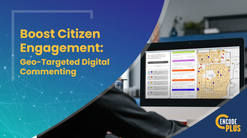
Getting meaningful location-specific input from citizens on plans, ordinances and other types of projects can be a challenge. Traditional forums like public meetings or written comments rarely facilitate productive geo-targeted feedback. But enCodePlus’ GeoComment tool lets your community members pinpoint issues and offer ideas on an interactive map.

Enhance Transparency and Consensus for Citizen Engagement
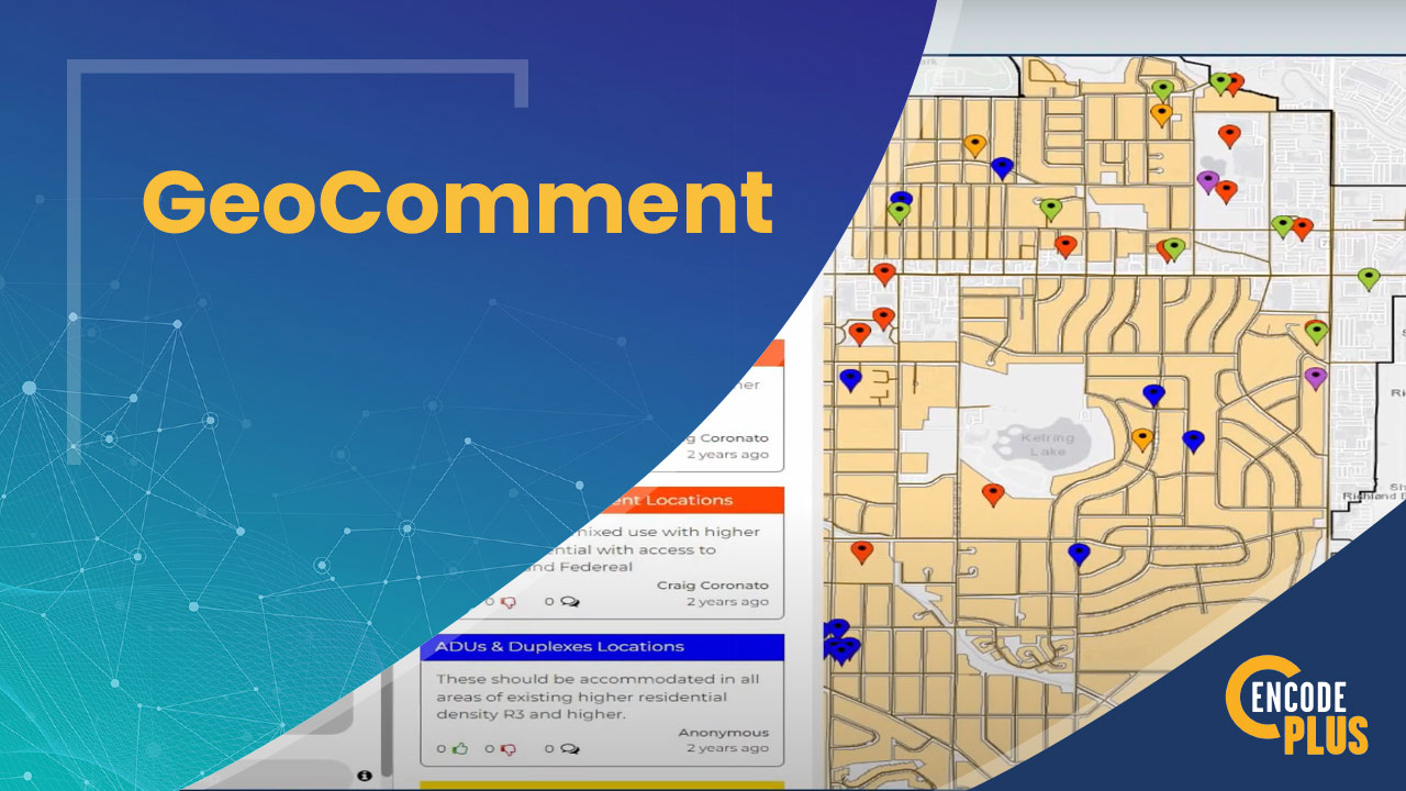
Available to the public through any web browser, GeoComment empowers citizens to drop a digital pin on a map, sharing their opinions on a particular property, intersection, neighborhood, or another location. Comments are linked to exact geographic coordinates.
Others can view the map to see concentrations of feedback and add their own pins with concurring or different views. This transparency helps build consensus and validate concerns.
Need a quote or more info?
Provide 24/7 Equal Access
With 24/7 access, GeoComment ensures equal opportunity for citizens to contribute at their convenience. And the integrated moderation dashboard lets you easily manage and curate appropriate community input.
Visualize Insights Geographically
Your team can then efficiently analyze the geo-located commentary to identify “hot spots” warranting attention. Interactive heat maps visualize grouped feedback to reveal insights and trends. The geographical spread of comments shows where policies, improvements, or standards could have site-specific benefits.
Seamlessly Integrate with Workflows
And integrated with enCodePlus’ other GIS, zoning and land development tools, the geo-tagged citizen feedback flows seamlessly into your processes and systems.
The Wrap Up
Boost citizen engagement and gather meaningful location-based input with GeoComment from enCodePlus. Contact us to learn more or request a demo.
About enCodePlus – Intelligent Planning, Zoning and Codification Software
enCodePlus is a unique, web-based technology platform delivering a full suite of planning, zoning and municipal code tools and features, together with full or hybrid code management services. Created by the planning experts at Kendig Keast Collaborative, the platform serves planners and zoning administrators, clerks, attorneys, managers, economic developers, and consultant partners. The cutting-edge software streamlines the rejuvenation of the format and usefulness of plans, studies, codes and ordinances, design guidelines, standards and specifications and the processes to create and publish them.