Webinar Alert (1 CM Credit): Transforming Zoning: How Technology Elevates Practice, Application & Accessibility

Join us, alongside our colleagues from ViewPro and ZoneCo, for a FREE webinar exploring how you can implement technology to transform your zoning practices, application and accessibility. We’ll discuss ways technology can improve decision-making, help stakeholders visualize zoning policies in real-world scenarios, and empower planners to test and understand policy implications with greater accuracy. You’ll […]
Bringing a Small Town Vision to Life with Advanced 3D Modeling Software
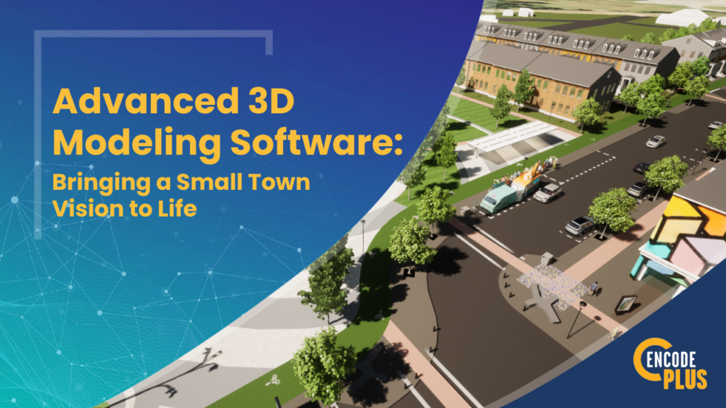
The City of Dickinson, TX, wanted to revitalize their central business district that had fallen into decline after repeated flooding. They hired our parent company, Kendig Keast Collaborative (KKC), to develop a plan to transform the area into a true city center. KKC accomplished this using enCodePlus advanced 3D modeling software. The Challenge To gain […]
Transform Zoning Research with Best-In-Class City and Municipal Zoning Software
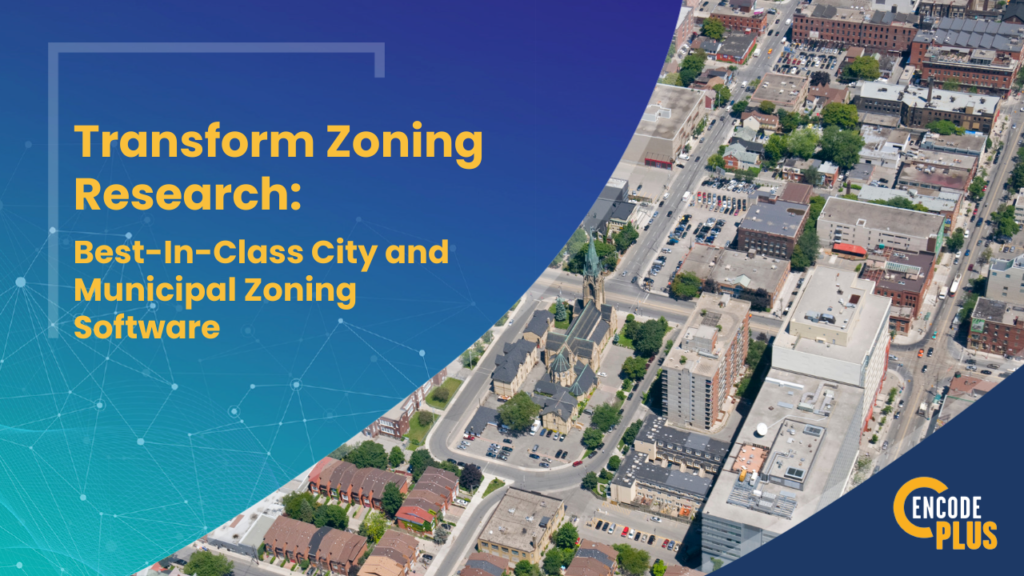
For city planners (and especially Planners of the Day), zoning administrators and permitting and code enforcement staff, zoning research can be more difficult than it needs to be. Pouring over paper or PDF maps or scanning around an online map, digging through multiple ordinance sections and other related standards or specifications, and pulling property records […]
Boost Citizen Engagement with Geo-Targeted Digital Commenting
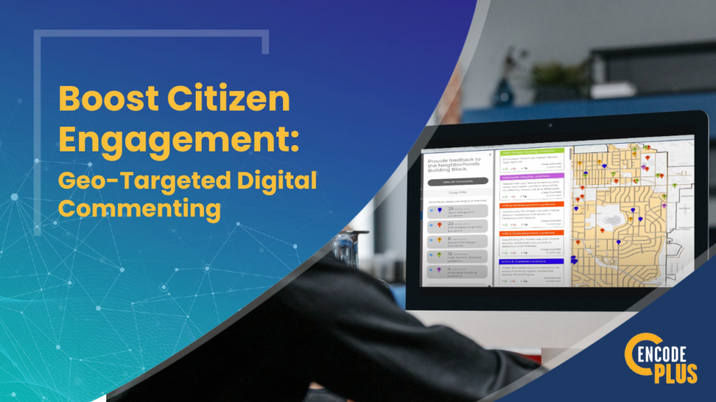
Gather Meaningful Location-Based Input Getting meaningful location-specific input from citizens on plans, ordinances and other types of projects can be a challenge. Traditional forums like public meetings or written comments rarely facilitate productive geo-targeted feedback. But enCodePlus’ GeoComment tool lets your community members pinpoint issues and offer ideas on an interactive map. https://youtu.be/_N3cBGJIJcU?si=hDVJexeZbL_KNveS Enhance Transparency […]
GIS-Powered 3D Zoning Platform Feature: District Summary Tool

Use the District Summary Tool to query an address, parcel ID, or lot to review the zoning designation and description, links to applicable sections of the code, such as the district uses and dimensional standards; supplemental use requirements; parking, sign and landscaping regulations; and applicable procedures.
GIS Map Software & Technology with ViewPro

The partnership between enCodePlus municipal planning software and GIS platform developer ViewPro infuses the leading planning and zoning software in the industry with the inventive capabilities of the top online, interactive GIS platform integrator creates a truly unmatched, fully integrated planning platform that is destined to pioneer the way municipal planning is done in the future.