Explore Land Uses with a Click
Table of Contents - Land Use Lookup
Find Land Uses and Their Districts in Seconds
Zoning information at your fingertips
Tired of flipping through zoning and land development ordinances and searching online to manually compile a comprehensive picture of zoning requirements? We were, too.
We needed a shortcut! Not only did we want quick answers for ourselves as planners, we needed them for all the staff, developers, engineers and architects who come to us with questions, too.
SO WE CREATED THE LAND USE LOOKUP ZONING RESEARCH TOOL
The Land Use Lookup Tool is a completely integrated feature. It lists all the zoning, overlay and special districts – and even planned developments – where a selected land use is permitted by-right, conditionally permitted, allowed by special exception, or may be allowed temporarily or as an accessory use.
HOW IT WORKS
Simply select a use category and use type from a drop-down menu to see all the applicable districts.
Or, begin typing a use to reveal all land uses that begin with the first few letters.
Powered with smart technology, the Land Use Lookup Tool can even relate common terms within land-use categories. For instance, it knows that “beauty salon” equates to “personal service,” and that “deli” is the same as “cafeteria or limited-service restaurant.”
Plus, the Parcel Summary and District Summary are accessible from the Land Use Lookup Tool, so related research is a snap!
No more confusion, missing details, or chasing information across multiple resources.
integrated with your GIS map
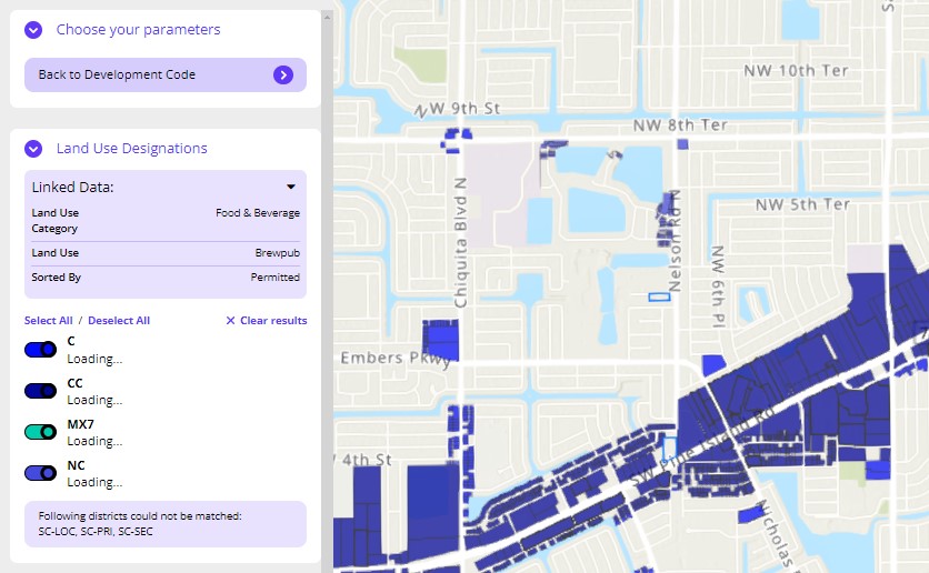
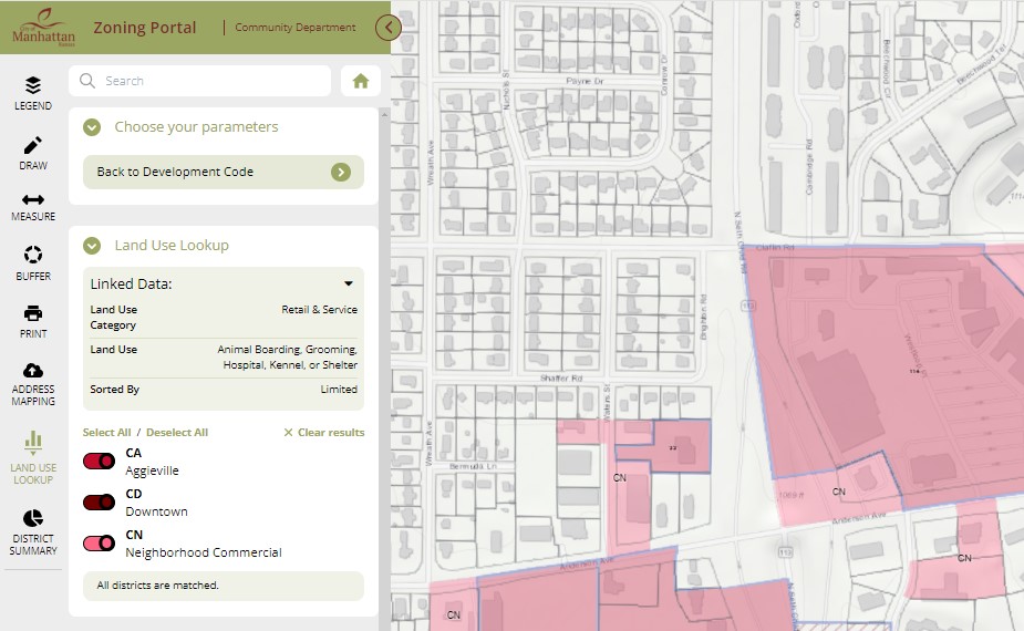
Integrate the Land Use Lookup Tool seamlessly within an established ArcGIS map. This way, when a user queries a certain land use uses the lookup tool, the districts for which the land use are allowed will be highlighted on the map (as shown in the image to the left).
Toggle the denoted zoning districts on and off to view the location of each district individually, and select parcels for deeper analysis.
Stand-alone tool
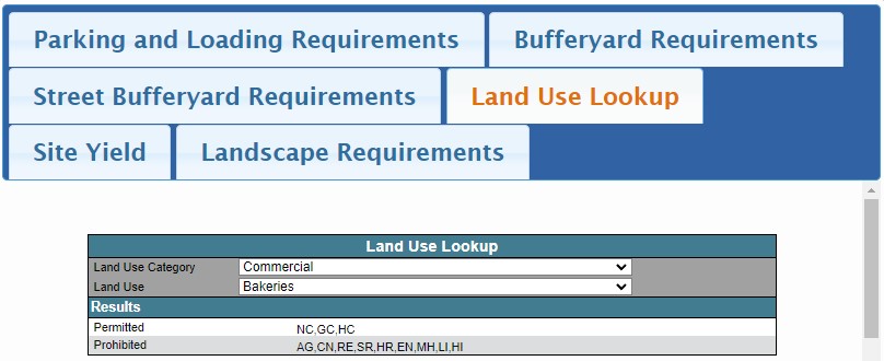
Even if ArcGIS map is not already established or you opt not to include GeoZone as a premium feature to your subscription, the Land Use Lookup Tool can still be developed.
The tool provides all the same level of detail, including a list all zoning districts that are applicable to a selected permitted, special exception, conditional or temporary land use.
Essentially, the lookup tool provides a simpler and more comprehensive method for land use research across all districts. It’s a digital zoning matrix, of sorts.
Land Uses Ready for a Refresh?
LET US BUILD YOU A DIGITAL MATRIX WITH LOOKUP CAPABILITIES
Traditionally, a zoning ordinance either lists the permitted, special exception, conditional and temporary land uses within the text of each zoning district. Or, a land use table is created to show all land uses and all zoning districts.
The Land Use Lookup Tool is a more modern, computerized version of a matrix. Not only does it complement an online interactive zoning ordinance, the tool hyperlinks cross-references to applicable ordinance sections. It also links individual zoning districts to their boundaries.
Why enCodePlus?
Info & Resources: Links, Blogs & Videos

